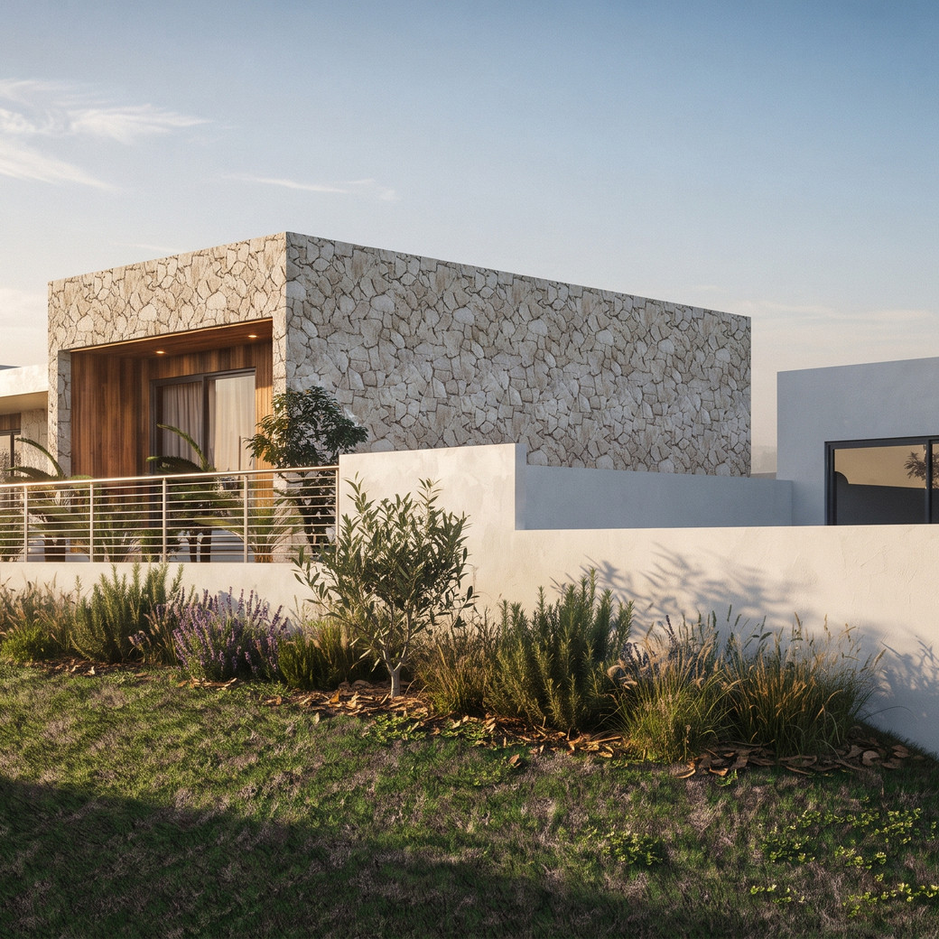
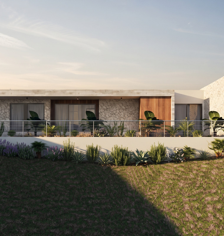
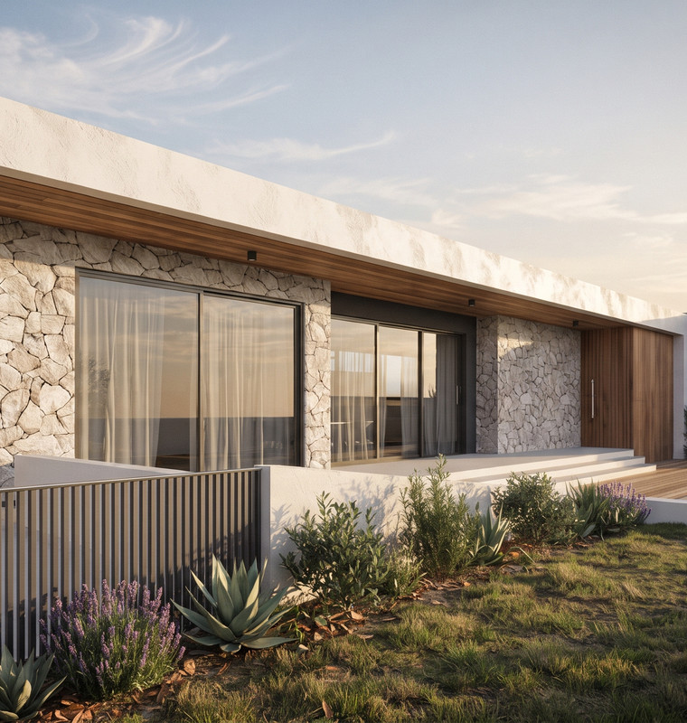
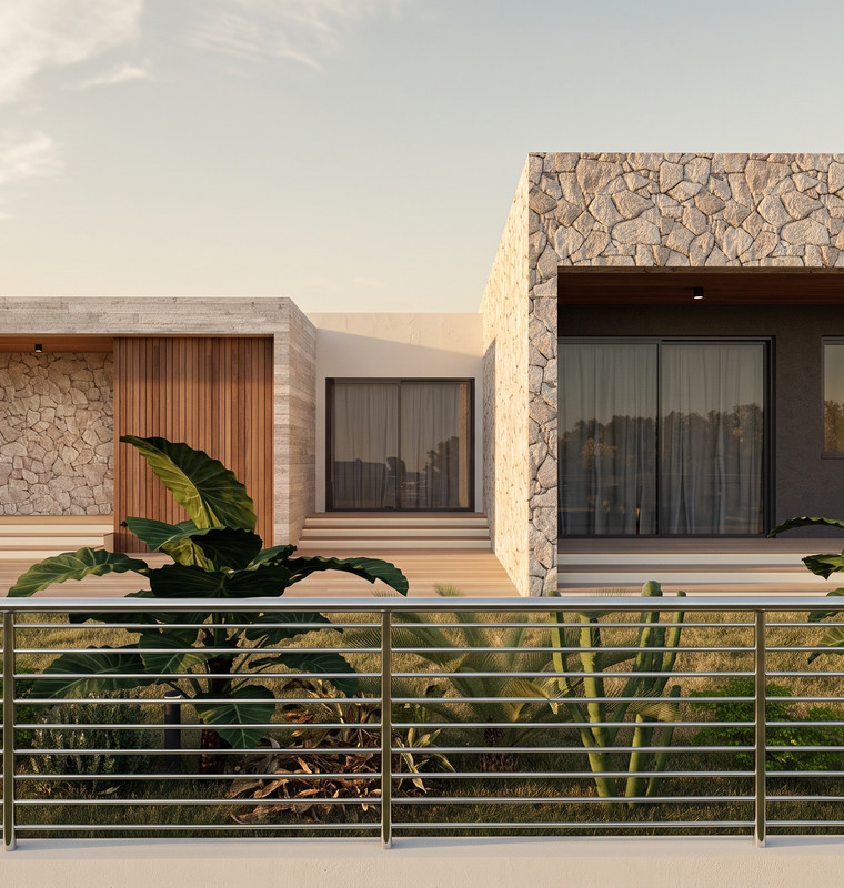
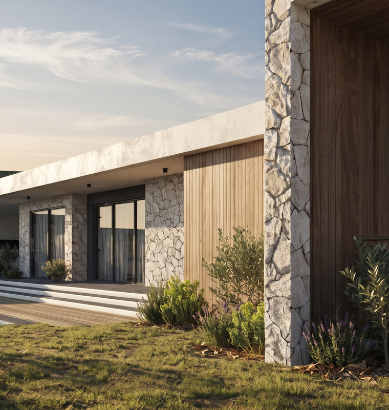
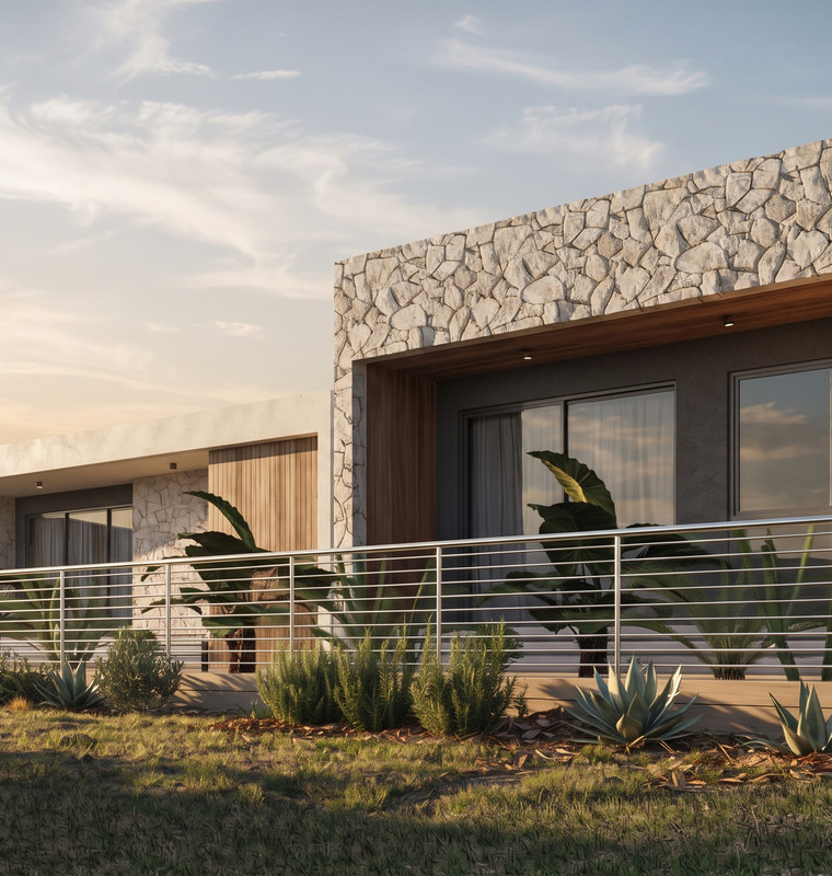
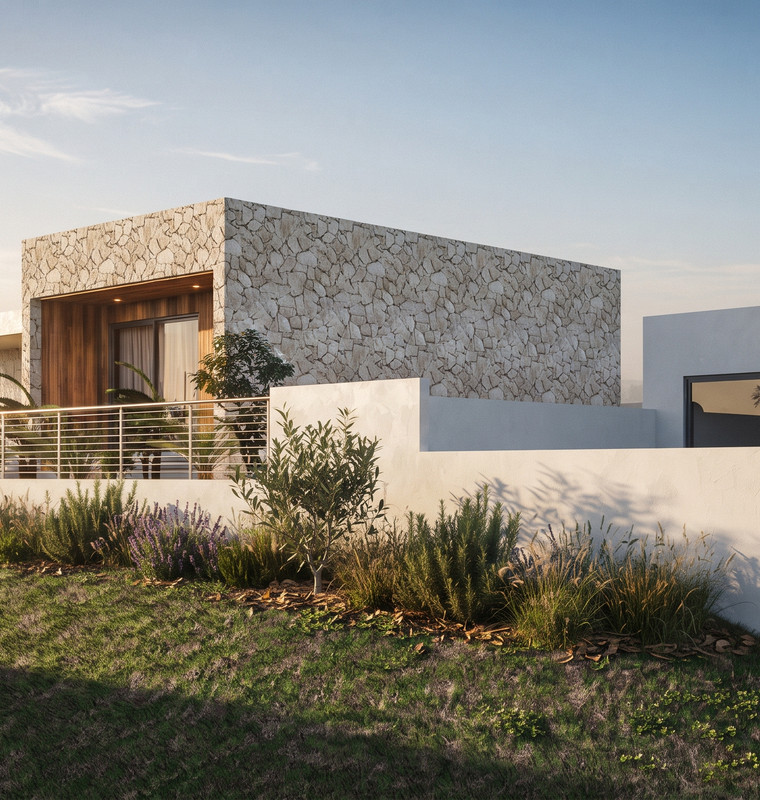
Explore the layout of Kellaki Hills, including the individual residential plots, the access road and the proposed house positions.
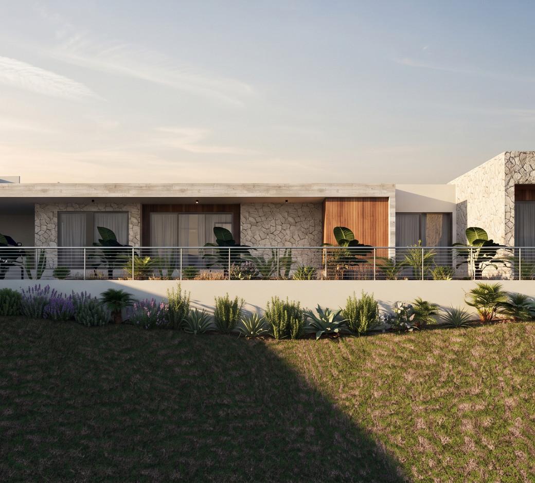
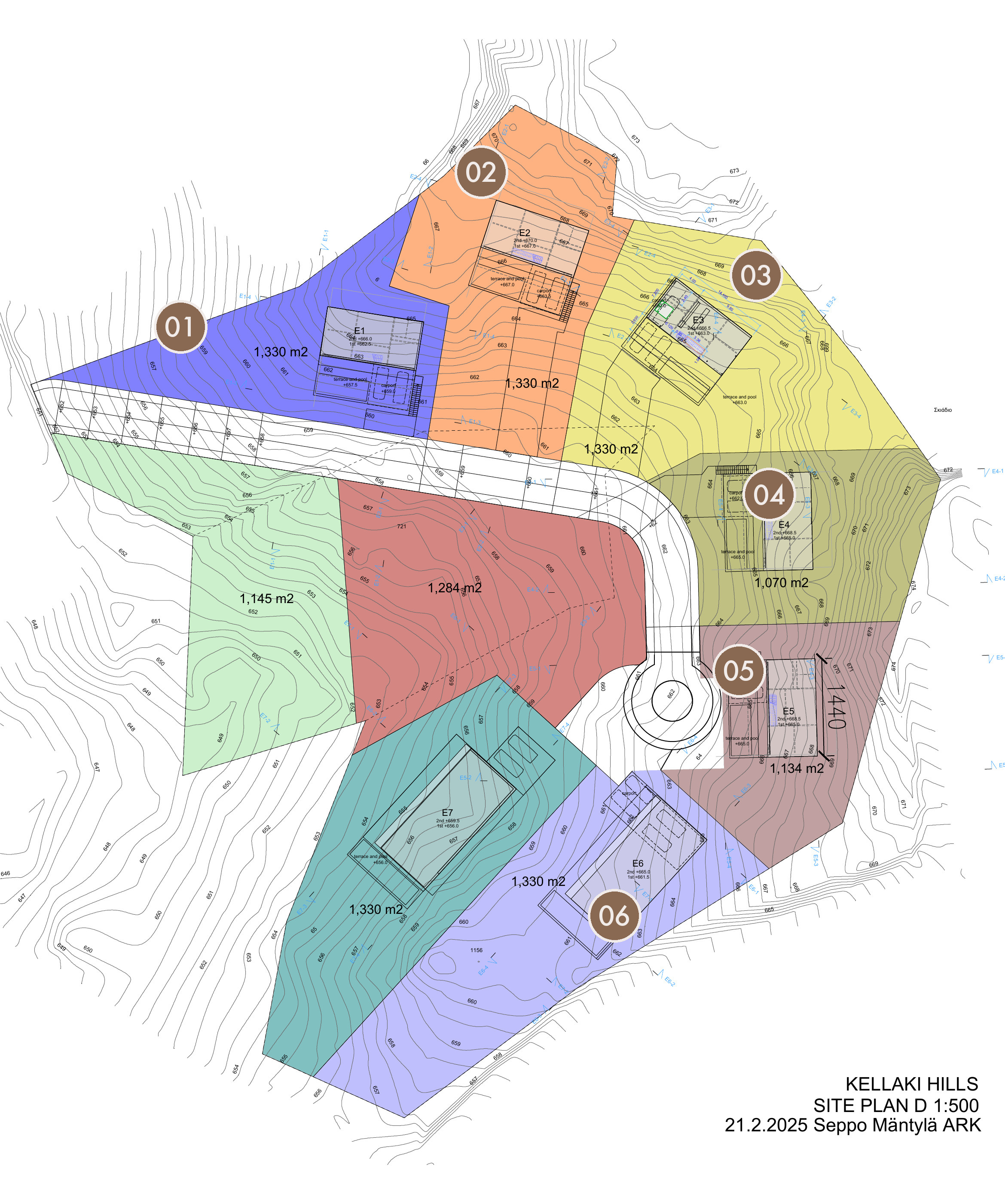
The masterplan brings together the six residences, their individual plots and the road connecting them. Residential plots range from 1,070 to 1,330 m² on the current masterplan.
Masterplan by Seppo Mäntylä ARK, Site Plan D, drawn at 1:500 and dated 21.2.2025.
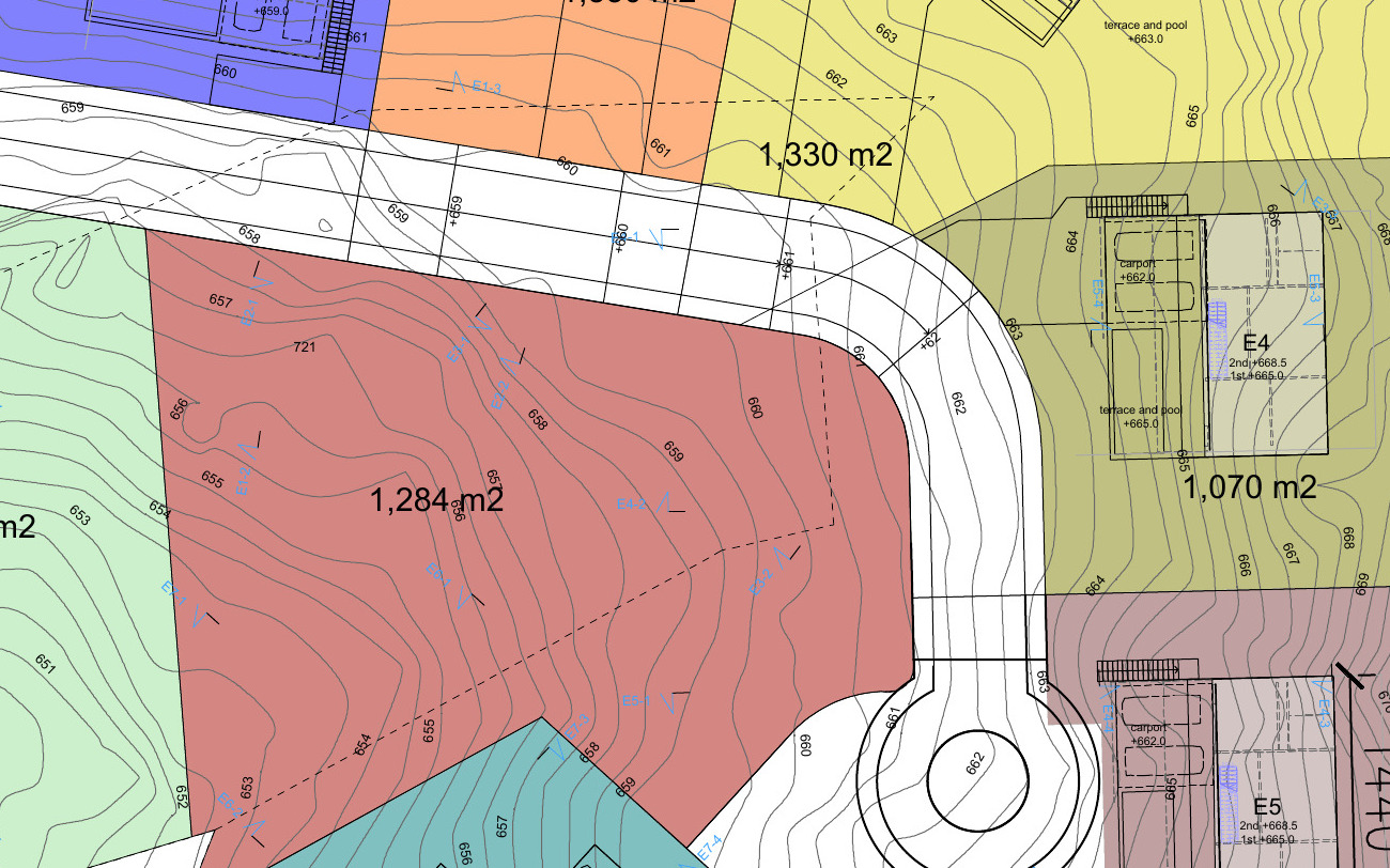
A shared access road connects the residential plots and ends in a turning circle, as shown on the estate masterplan.
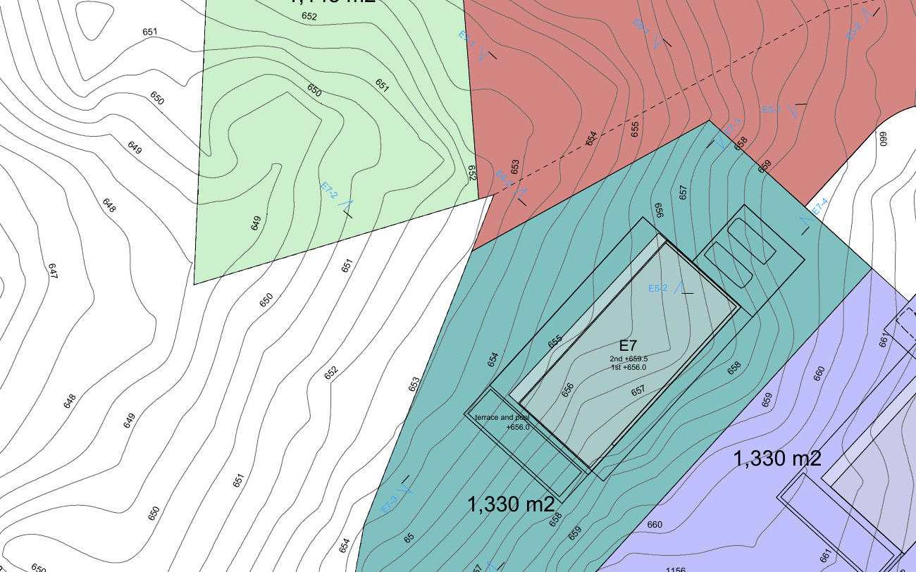
The site extends across elevations of approximately 646 to 673 metres above sea level. The proposed residences occupy different positions along the natural slope.
Request the latest plot information, property plans, pricing and availability.